Content and image courtesy of NDSU Extension
A statewide citizen science network is looking for volunteers for rain and snow reporting in North Dakota.
These observers will measure rainfall, snowfall and snow depth as part of the Community Collaborative Rain, Hail and Snow (CoCoRaHS) Network. Some observers also measure the water equivalent of the snow after it melts.
“This is your chance to become part of the state’s climatological history and contribute to an accurate flood potential forecast in your local areas,” says Adnan Akyuz, state climatologist and professor of climatological practices at North Dakota State University.
North Dakotans have been collecting precipitation (rainfall and snowfall) data since the early 1900s in most places. When farmers, engineers, and weather and river forecasters ask for precipitation data for a given location, that information comes mostly from volunteer observers.
“Providing that data is fun and easy, and only takes five minutes a day,” Akyuz says.
North Dakota has more than 300 such volunteer precipitation observers. However, only a handful of these observers are active year-round.
“We need as many volunteer observers as possible around the state to help forecast flood potential, as well as drought assessments,” Akyuz says.
“We have a lot of training materials for you to become an observer,” he adds. “All you need is an interest in weather to participate in the program and a cylindrical rain gauge.”
Data from CoCoRaHS Network volunteers routinely are being viewed and used by many professions and organizations, including meteorologists, hydrologists, emergency managers, city utilities, insurance adjusters, agribusinesses, engineers, science teachers and the National Weather Service. Data are used for many applications, such as flooding, water resource planning, severe storm warnings, teaching Earth science, predicting crop yields and assessing drought.
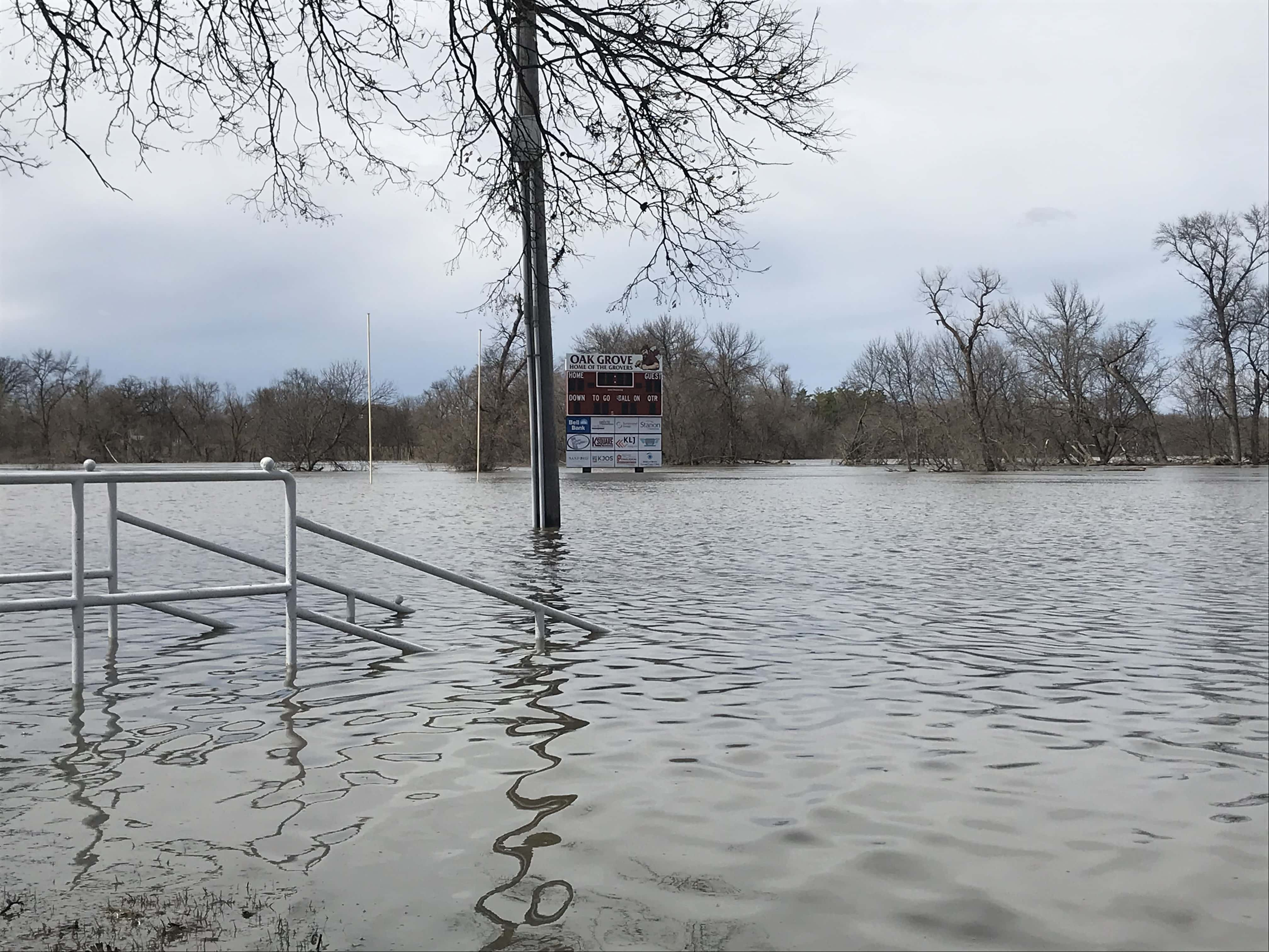
The river stage at Fargo exceeded the major flood category (30 feet or greater) 18 times during the last 137 years and seven times (2006, 2007, 2009, 2010, 2011, 2013 and 2019) during the last 15 years.
“The flow of the river causes a unique sequence in which the spring thaw progresses northward, in turn causing natural ice jams as the river flows into still-ice-covered surfaces,” Akyuz says.
The valley also has a unique topography in which the valley slopes less than 2 inches per mile at places, which causes the river to meander in sharp loops.
“Because of these two reasons, the Red River Valley becomes one of the most flood-prone areas in the U.S.,” Akyuz says. “In fact, the Red River in Fargo has slightly more than a 25% probability of exceeding the major flood stage in any given year, based on historical data.”
The likelihood for major flooding along the Red River’s main stem from Wahpeton to Pembina is greater this spring. Based on the National Weather Service’s North Central River Forecast Center, the Red River at Fargo has a greater than 95% chance of exceeding major flood stage. That percentage for Grand Forks and Pembina is greater than 75% and 95%, respectively.
“There are different economic and psychological implications of being ready for the 40-foot river stage and the 35-foot river stage in Fargo,” Akyuz says. “Therefore, it is more important today than ever before that we make accurate snow measurements that go into hydrologic models that predict the flood stage. The quickest and the easiest solution is the CoCoRaHS Network.”
Visit https://www.cocorahs.org/Content.aspx?page=application to learn more about joining the network.
