
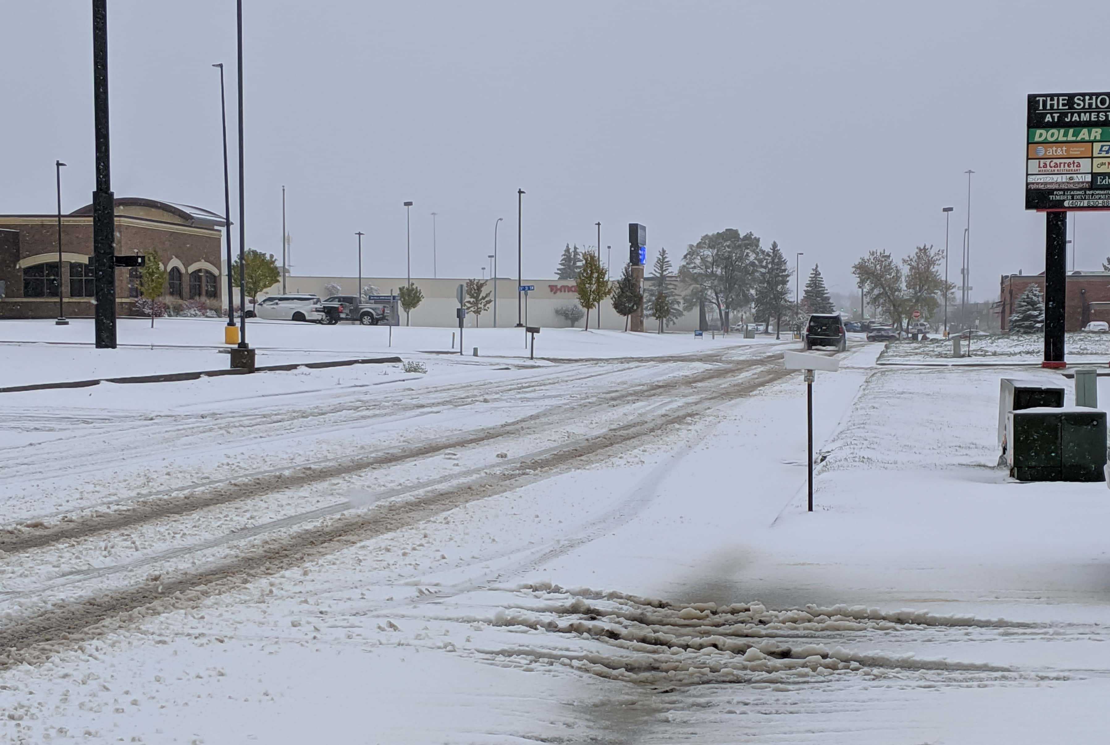
JAMESTOWN, N.D. (NewsDakota.com) – Winter has struck in North Dakota and more is expected into the weekend.
The latest forecasts show winds any where from 30 to 60 mph in different parts of the state. Accumulation predictions have changed constantly and Ag Central Meteorologist Mick Kjar says the biggest focus should be precipitation totals.
Kjar says with the exception of a blizzard warning, the state will continue to see wet, slushy snow, ice, freezing rain, and more. He says the current system will see cold air squeeze out a lot of the moisture and create more hazardous conditions.
Kjar says immediate impact from this storm is the rising rivers that are already at flood stage and other diversions and reservoirs that are full.
Kjar says it’s easy to blame forecasts, meteorologist, weather models and more, but the bottom line is there’s no reason to take chances with these storms.
View the latest road reports here. Stay tuned to your local i3G Media Station for ongoing weather updates, postponements, cancellations and more. If you have a weather announcement, email it to weather@newsdakota.com.