The U.S. Army Corps of Engineers updated its near-term forecast for the Missouri River this week as the basin prepares for mountain snowpack to melt and collect in the system.
The three-week forecast calls for increased water output from the Missouri River water control facilities along the river.
Currently, system reservoirs are below their exclusive flood control pool elevations.
However, as the mountain snowpack melts, the pool elevations will increase significantly.
Storing water in the exclusive flood control pools at reservoirs in the middle of the system limits flexibility for reducing flood risk from upstream or downstream rain events.
Thus, officials say they will maintain release levels higher than inflows. Gavins Point releases are forecast to remain steady at 55,000 cubic feet per second to continue evacuating runoff from the spring plains snowmelt.
John Remus, chief of the Corps’ Missouri River Basin Water Management Division, says fluctuations to river stages downstream from Gavins Point are possible due to rain events occurring downstream from Gavins Point.
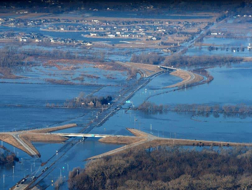
Some areas downstream are still at flood stage and have been since last month’s bomb cyclone weather event.
