LAMOURE, N.D. (NewsDakota.com) – LaMoure County is planning for unknown levels on the James River as ice jams and high tributary flows are seen.
The National Weather Service issued a Flood Warning on Monday, April 1st.
“The river is now expected to remain near 14.5 feet for the next several days, which is above flood stage,” the NWS states. “As ice moves through the river, fluctuations in water levels of up to one foot can be expected.”
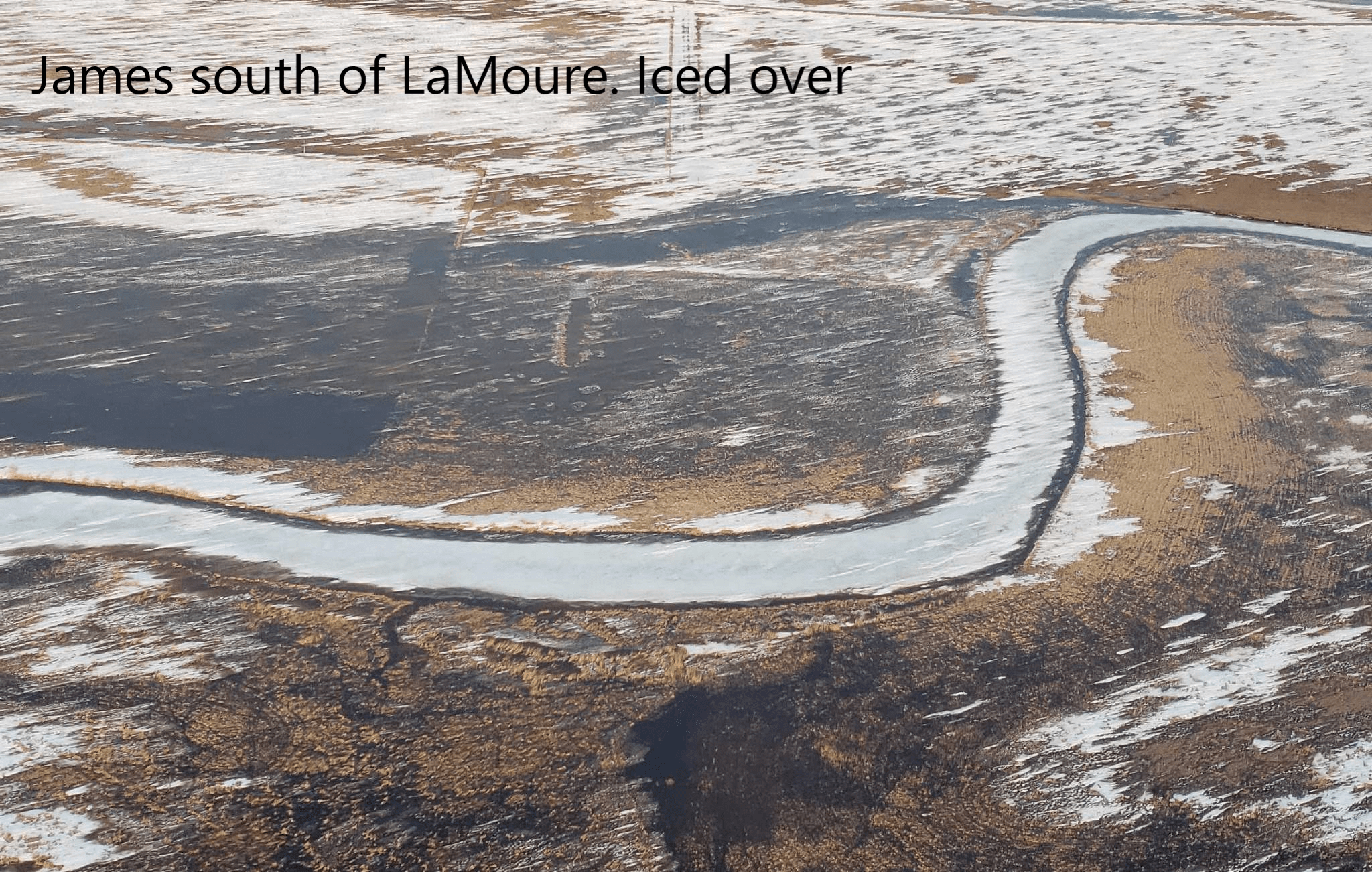
At the request of LaMoure County officials, the Civil Air Patrol was requested to fly the James River in LaMoure County to help determine a course of action to mitigate damage of the James River.
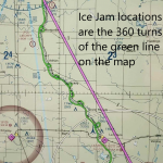
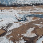
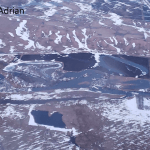
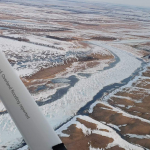
“The Civil Air Patrol reported late on Monday evening that they observed seven ice jams on the James River from near Montpelier to just north of LaMoure,” stated Emergency Manager Kimberly Robbins.
Earlier in the day, LaMoure County officials found significant damage at the LaMoure County Memorial Park in Grand Rapids. Grand Rapids is approximately 7 miles north of LaMoure. The park had water in the buildings and access was limited due to rising water.
“Due to uncertainty caused by ice jams, LaMoure County will be making sandbags at the LaMoure County shop today,” Robbins stated.
Volunteers are asked to bring gloves, shovels and will be asked to sign a release if they help. Sandbags will then be available to those properties and infrastructure that may need to be protected from the rising river.
The Executive Order activated the State Emergency Operation Plan as the Governor cited flood outlooks from the National Weather Service indicating the potential for significant river, tributary and overland flooding in the Red River and Devils Lake basins, and high water in the southern James River basin.
The LaMoure County website will have information on how to prepare for high water as well as links to follow the river levels and road closure information at: https://lamourecountynd.com/SpringOutlookandFloodInformation.
You can also call the Emergency Manager at 701 883-6096 or 701 830-0258.
Below are some photos from the Civil Air Patrol taken Monday to assess what action counties and cities should take for flooding.

