
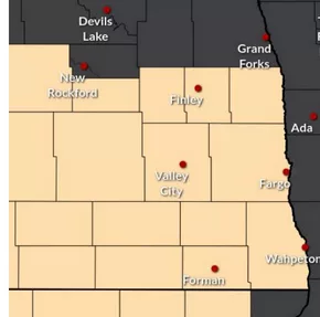
GRAND FORKS, N.D. (NWS) – Strong winds develop Monday, March 10th with the strongest winds associated with a cold front late Monday afternoon and evening. Wind gusts to 50 mph are likely, with a 50% chance for gusts 58 mph or higher (Warning impacts) with the frontal passage. The combination of low relative humidity and winds may lead to critical fire weather conditions over parts of the region. High Wind Watch along and west of the Red River Valley from 12 PM to 10 PM CDT. Fire Weather Watch for southeast ND from 12 PM to 7 PM CDT.
A cold front moves through the region late Monday afternoon through Monday evening and the strongest winds are expected along and behind this front from the north.
Warm temperatures in the 60s will result in RH values in the 25% to 35% range across the region. There is a 70% chance for RH values to fall below 25% in southeast ND, where a Fire Weather Watch as been issued.