
GRAND FORKS, N.D. (NWS) – Widespread wind chills -40 or lower are likely Sunday night through Tuesday morning, with
the lowest values in the overnight/morning periods.
Some improvements are expected during the afternoon hours as temperatures warm Monday, but wind chills may remain -40 or lower for some locations.
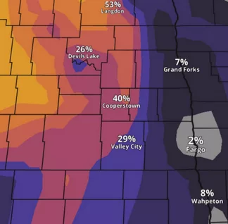
Dangerous Cold Wind Chills Sunday Night Through Tuesday Morning. The coldest air of the season is forecast to move into the region Sunday night and may linger into Wednesday. Coldest mornings are Monday and Tuesday. Air temperatures -30 or lower may result in extreme wind chill values -50 or lower. The best chance for these lower values is across parts of the Devils Lake Basin.
People should bundle up if you plan to go outside. Livestock and pet owners should take every precaution to protect your animals and keep them out or away from these bitterly cold temperatures and wind chills.