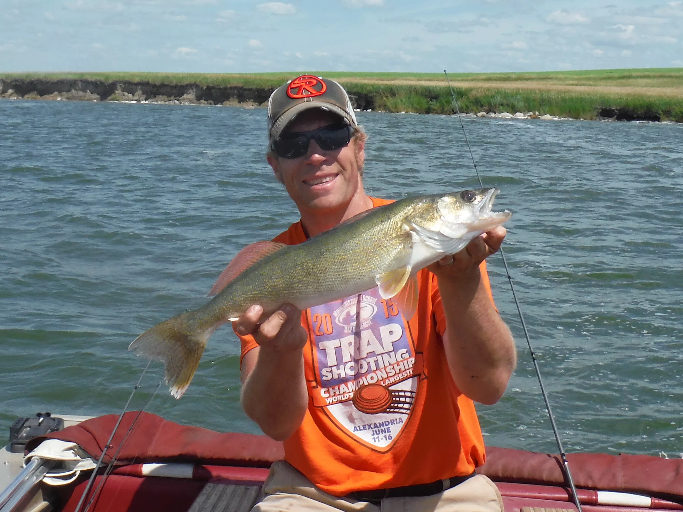
Where areas of mud or sand on prairie lakes break up and become more rocky or gravelly is where you’ll find walleyes in summer. Explore transition areas for all species of fish and focus on summer patterns and presentations that relate to these spaces. Simonson Photo
By Nick Simonson
The change from spring to summer this year was almost instantaneous; in fact, it could be argued the upper Midwest went almost straight from winter to summer with about a week of acclimating in the middle. While most spring activities are wrapping up, goslings are hatching, pheasants are nesting and fish are finishing their spawning activities, these transitions – however abrupt they might seem – are a good reminder of summer fishing patterns and the quick changes in bottom composition that will hold fish as the water continues to warm, and summer angling patterns take hold.
Keying in on a spot-on-a-spot is an oft-relayed mantra in the world of sportfishing. Whether it is a change in flow on a river or the alteration of bottom composition by some glacier-deposited rocks on a lake, these areas of change provide fish with something that attracts them – either cover, food or both. Finding where these spots are and learning how to fish them is an important ability that results in more fish in the livewell.
In the Know
There are three primary ways to identify a bottom transition: reviewing the map of a favorite water body, doing a little armchair surveying once on the water, and confirming your suspicions or noting a change on a depth finder.
First, many clues as to bottom composition and transition areas can be discovered just by looking at a map of the water body. Some maps are very detailed, with rock bars, shoals and flats detailed on the rendering. Even GIS color maps help give anglers an idea of what lies below. Generally old creek beds and river channels can be outlined by looking at the depth contours on a lake map. These areas are prime travel sites for both walleye and bass, and an angler is almost guaranteed some dynamite transition areas between sediment and gravel, or muck to sand due to the inflowing water that occurs from time-to-time in the gullies that feed these areas or fed them in the past.
Time on the water helps confirm what lies beneath the surface. Use shoreline clues to help identify structure and changes away from the shore. Many gullies will have sandy beaches when they contact the shore of a reservoir where sediments have washed out over time. These areas can extend deep into the main water body and provide a line for precision trolling which will hold fish. Also, by using a sensitive rod and low-stretch lines when jigging or trolling bottom bouncers, anglers can detect changes in bottom composition when covering an area. Mud and muck will generally result in a dragging feeling. A transition to sand, gravel or small rock will produce a tick-tick-ticking sensation. Larger bumps or snags that the lure slips out of will signal larger rocks.
Finally, use a sonar unit to home in on areas where the bottom changes from soft to hard. Confirm suspicious sensations by viewing the screen. Hard bottom areas generally produce a double echo, and soft bottoms are shown as just one line. If intermittent double echoes occur, concentrate your efforts around those areas. They are most likely isolated areas of rock or gravel on an otherwise softer bottom. These are classic spot-on-a-spot areas that should produce fish. Look for arcs or fish symbols on the display while fishing these spots.
Work It
When a transition area, be it a change in bottom composition or an isolated rock pile, is discovered, work up, down and around it to find fish and even more specific areas that produce consistent action. Spinners and live-bait rigs on bottom bouncers and Lindy No-Snagg sinkers are ideal for feeling out transition areas. Jigs also help to accurately probe the area. Swim crankbaits around these spots and bounce them off any structure along the transition to get a better idea of what lies below. Digging bottom with the bill of the bait or knocking it off rocks can also trigger vicious reaction strikes from fish lurking nearby.
Try figuring out the extent of a transition area by trolling over it multiple times and feeling it out with a few different presentations from varied angles. Using a GPS or going old school and using visual landmarks and noting them on a map will help keep track of productive transition areas. Of course, catching fish in the process will help confirm the value of a discovered transition area. Visit these spots as seasons change. A spot that did not produce a bite early in the season might result in big catches of walleyes in the fall as they binge on the seasonal congregation of baitfish.
Keep success constant with the various bottom and structural changes that abound in area rivers, lakes and reservoirs. These transitions present the opportunity to expand a set of angling skills and should bring a positive change in the total number of fish caught in this season of abrupt transitions, be they weather-related or those of the underwater world.
