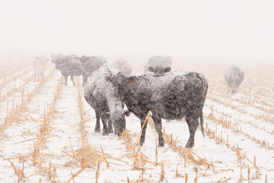
Farmers appears set for a familiar weather event this week as forecasters say another bomb cyclone, or similar event, will hit parts of the Great Plains and Midwest.
Numerous weather forecasters now say models are showing one to two feet of snow, if not more, in the northern reaches of the Missouri River basin, the same area that flooded in March from a bomb cyclone event.
The storm this week overlaps areas hit last month, but the bulk of the predicted heavy snowfall is expected further north, into South Dakota and Minnesota.
The so-called cyclone, which presents a unique shape clearly defined on weather maps, is expected to form Wednesday afternoon.
The storm creates a swirling air pattern and includes conditions that allow for significant precipitation.
However, forecasters say round two should not be as disastrous as the first bomb cyclone in March, as spring seasonal conditions are limiting the potential for storm. Still, the storm signals more flooding along the Missouri and Mississippi Rivers.
The National Weather Service last month predicted flooding to last into July.
