
GRAND FORKS, N.D. (NWS) Near perfect thaw/melt conditions thus far this spring have potentially allowed for a reduced flood threat. If conditions in the next several weeks continue to follow this pattern (slow melting during the day with some refreezing at night and dry weather conditions), most locations can expect to see river levels peak
from snow melt in the 75% to 95% range of the probabilistic guidance issued March 15th.
However, peak river levels will still be contingent upon future precipitation. If significant precipitation happens to occur (especially concurrent with peak snowmelt rises), river levels
will be prone to reaching higher levels, likely above the 50% stage levels of the March 15th guidance.
Current conditions…
Temperatures warmed into the mid to upper 40s across the far southern Red River Valley and into west central Minnesota on Wednesday. This warmup allowed for more rapid snow melt and associated runoff across this area, resulting in the Wahpeton/Breckenridge area rising above flood stage and numerous road closures due to overland flooding across portions of west central Minnesota.
Across the remainder of the southern basin, river conditions remain mostly ice covered with some ponding of water on streams and rivers and in fields and ditches. Snow cover across this area is rapidly decreasing while the top layer of the ground is slowly warming and may now be capable of soaking up some of this moisture.
For the northern half of the basin where it hasn`t been as warm, the snow cover is gradually decreasing but rivers remain largely ice covered.
Future conditions…
A roller coaster of temperatures is expected to continue through the end of this week and into the first half of next week. Temperatures on Friday are expected to once again warm into the 40s for much of the basin. These temperatures will continue to decrease any remaining snow pack across the far southern basin. However, the Corps of Engineers has temporarily reduced outflows from area reservoirs to slow down/reduce rises at Wahpeton/Breckenridge and locations further downstream.
Runoff will be slowed even further on Saturday as colder air pushes into the region and temperatures top out only around the freezing mark. The roller coaster will continue heading into next week as Monday and Tuesday look to bring a brief warm up before once again
dipping back down by midweek.
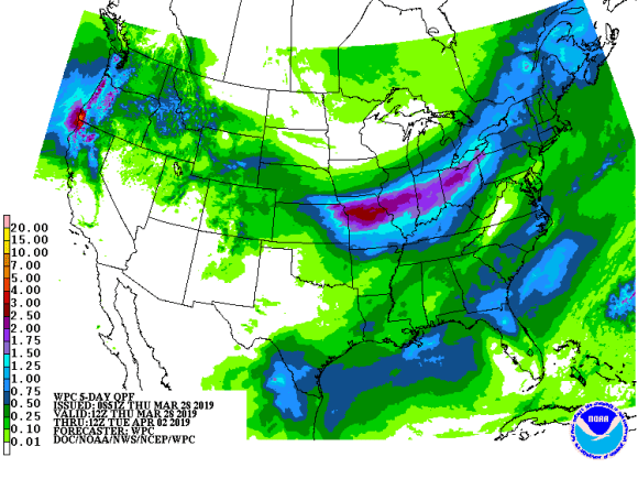
Overall quiet weather conditions will persist into early next week. A weak disturbance looks to bring minor precipitation chances to the northern basin on Friday but amounts will be minimal. Thereafter, dry conditions will prevail through the weekend heading into early
next week.
Lastly, computer models do depict a system potentially targeting the Plains around midweek next week. However, it is much too far into the future for any specific locations or precipitation amounts. Our area has the potential to experience this system with a mix of
weather types (rain, snow, etc.). On the other hand, this system may miss our area completely with little to no precipitation.
Next outlook…
There will be no additional probabilistic outlooks issued this spring as we are now experiencing more widespread melting and the issuance of deterministic forecasts. However, an updated thaw progress statement will be issued on Monday, April 1st regarding the
status of the snow melt, forecast weather conditions and the impacts on future flood potential.
Amanda Lee is a National Weather Service Forecaster based in Grand Forks, ND. Lee gave this update to Steve Urness on March 28th.